The political leadership in Egypt attaches great importance to the agricultural sector
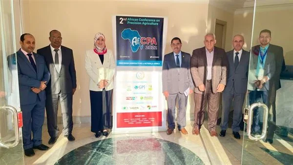
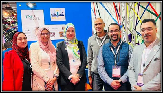
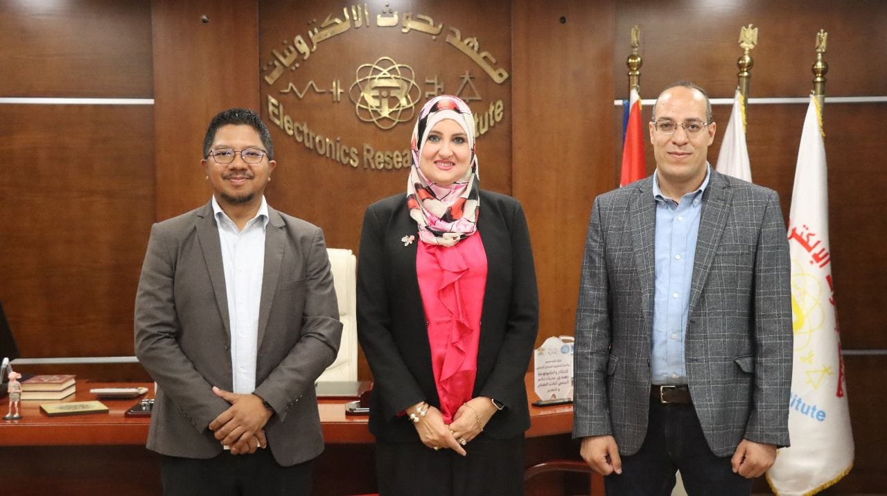
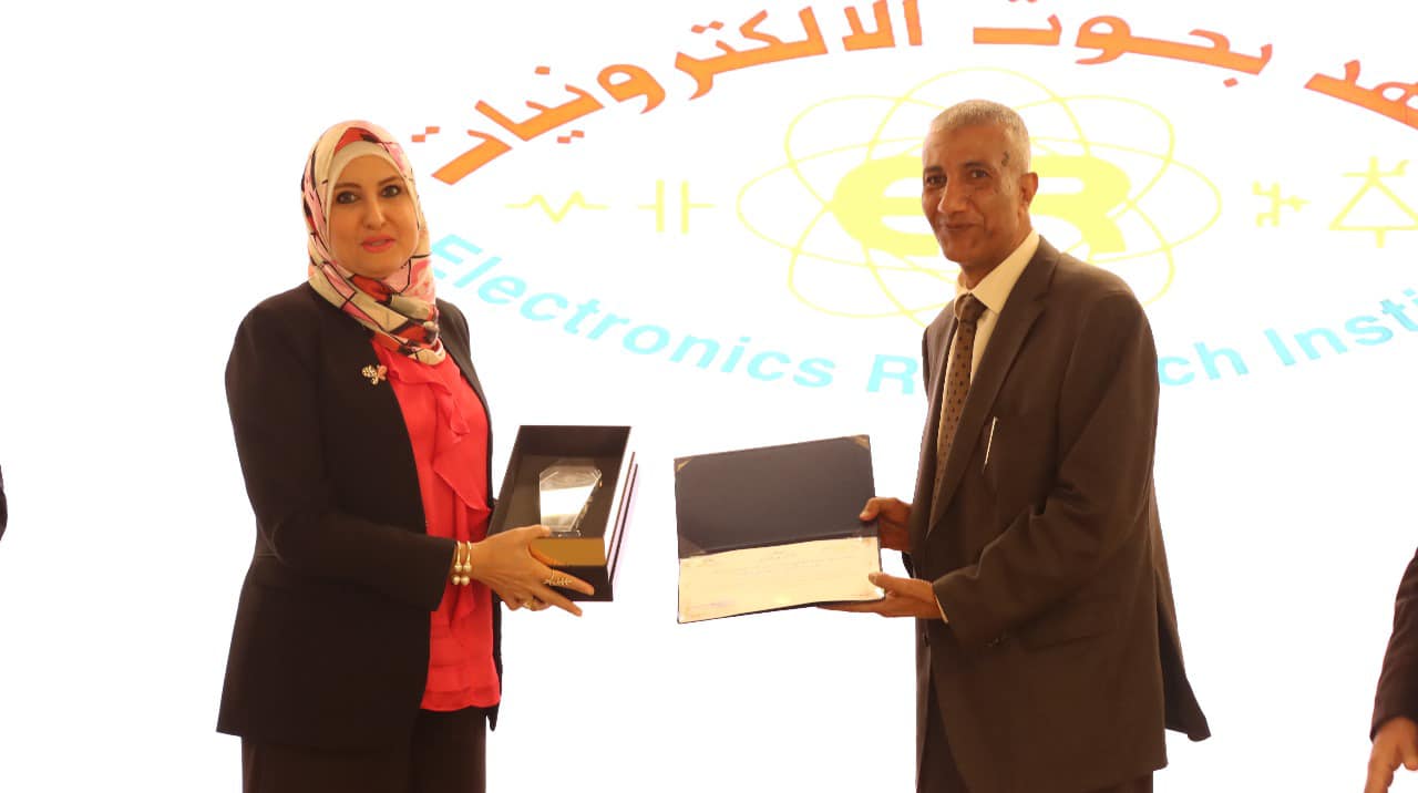
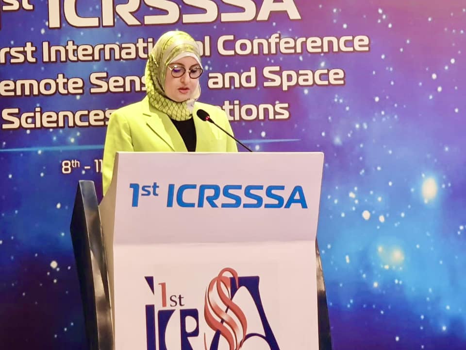
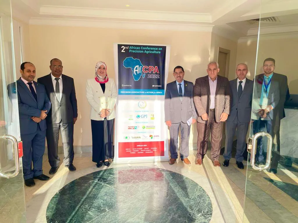
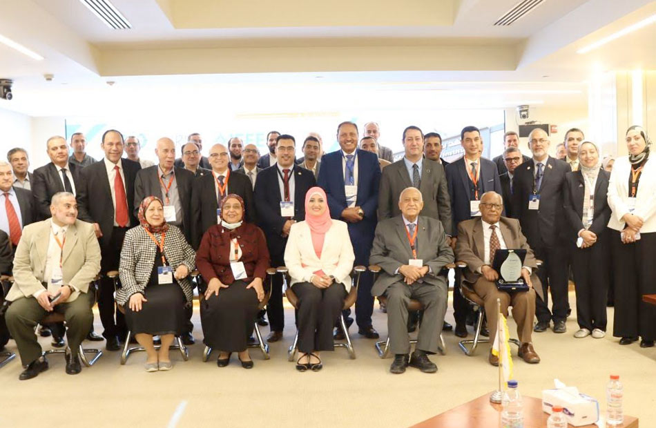
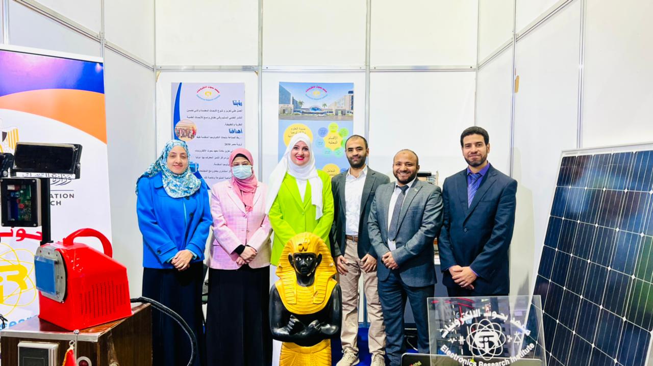
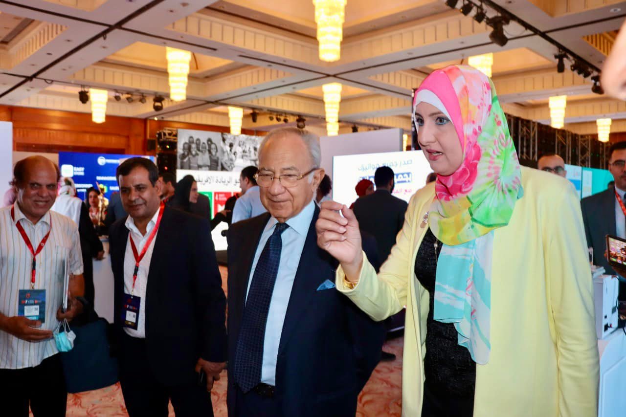
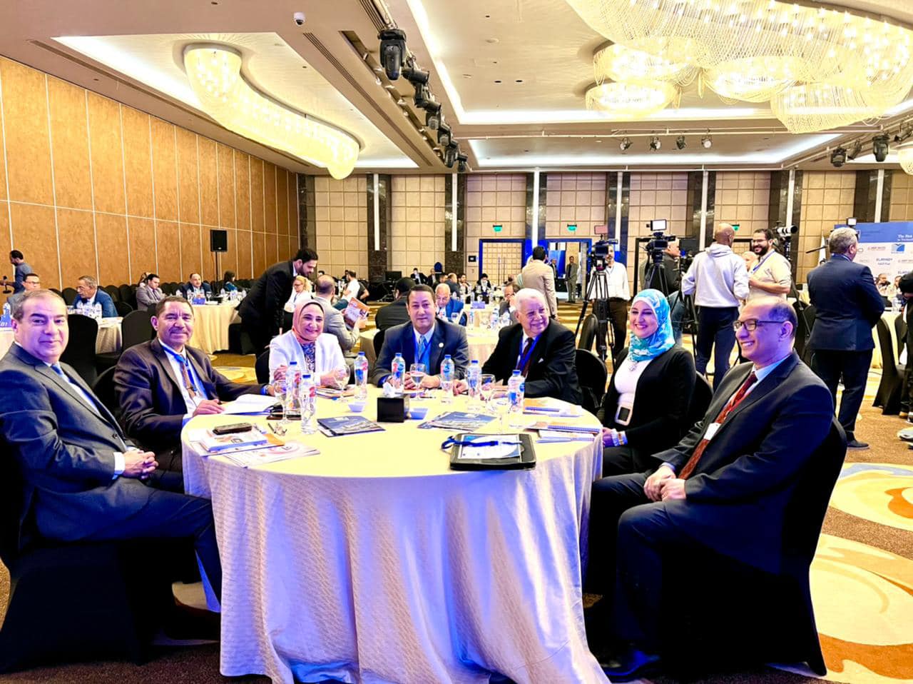
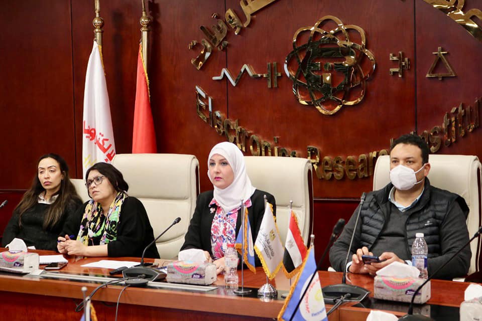
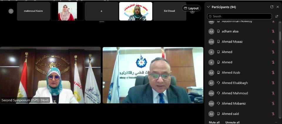
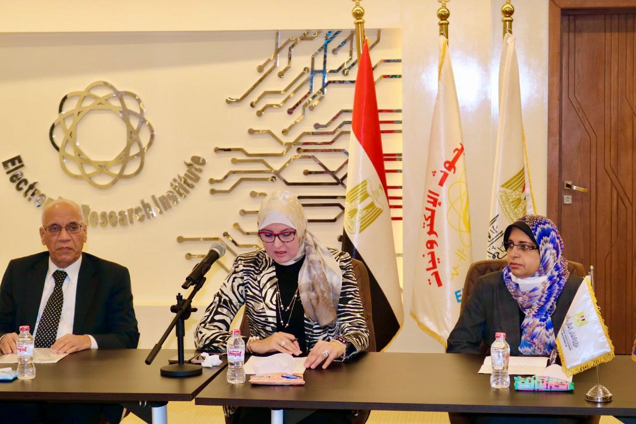
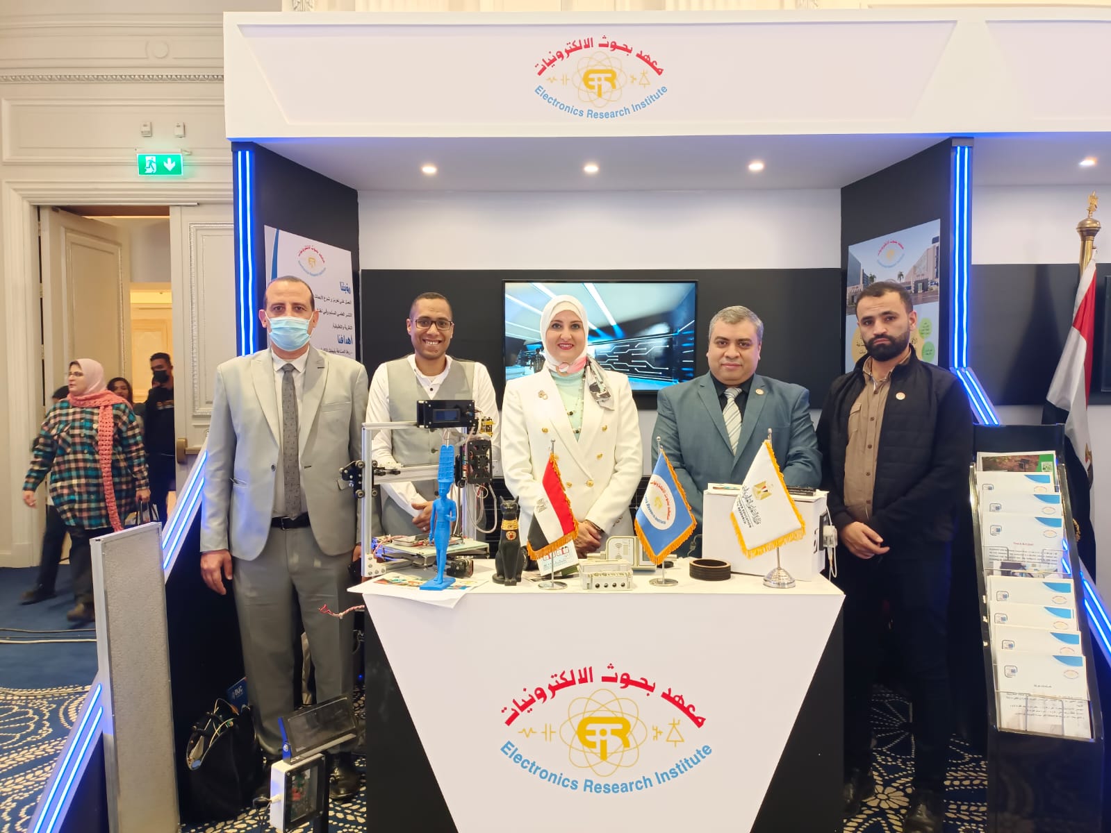
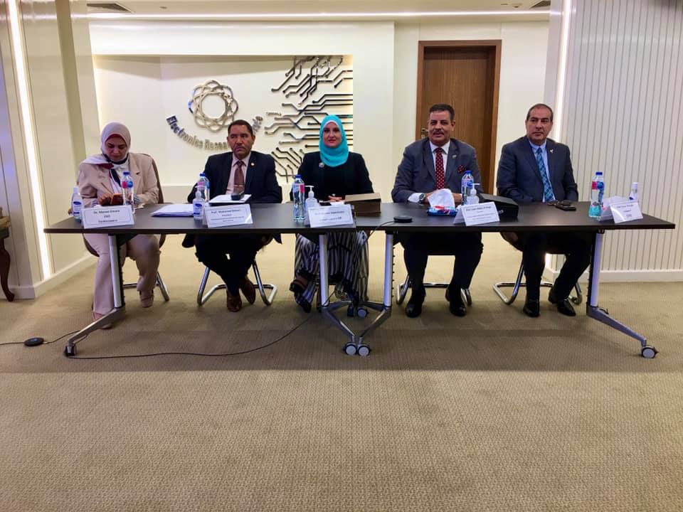
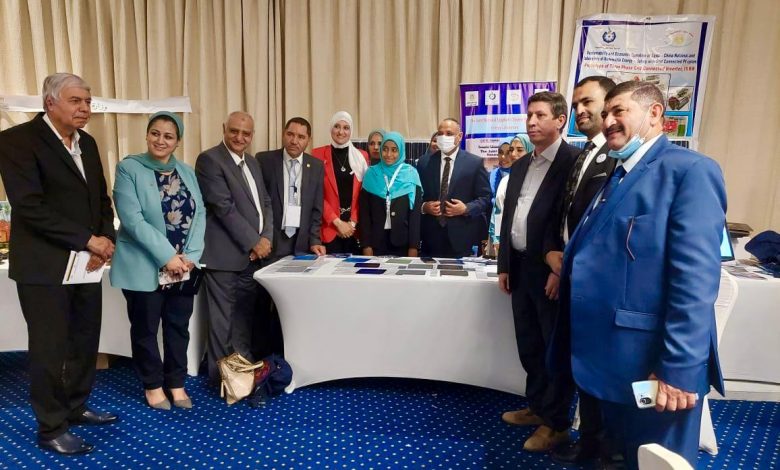
The Electronics Research Institute participated in the Second African Conference on Precision Agriculture, which was organized by 11 African countries, including the Arab Republic of Egypt, represented by the National Authority for Remote Sensing and Space Sciences.
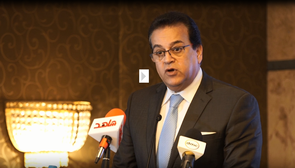
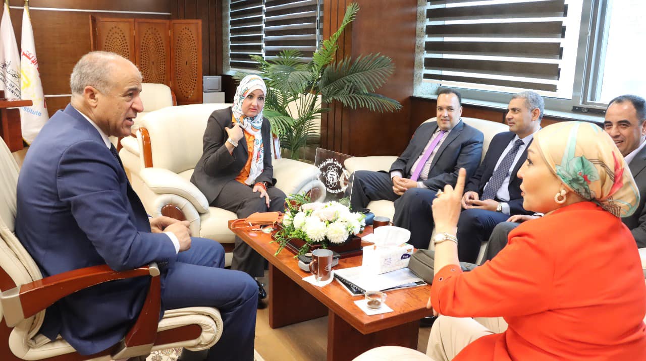
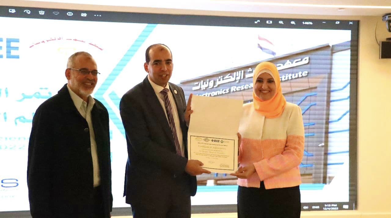
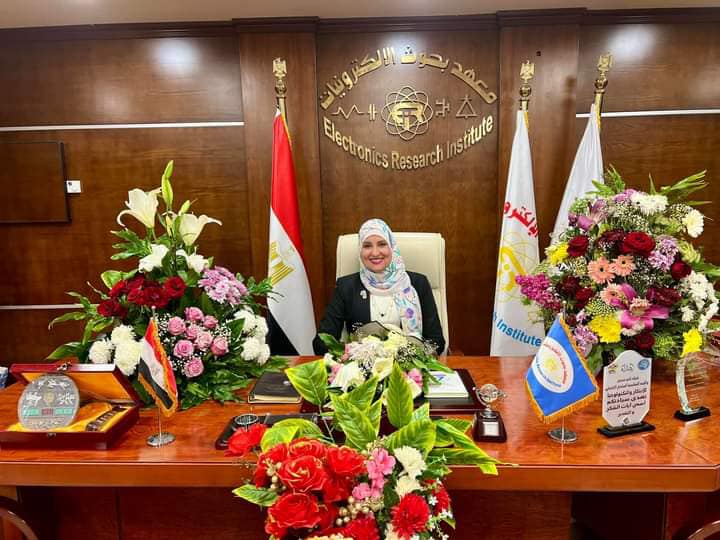
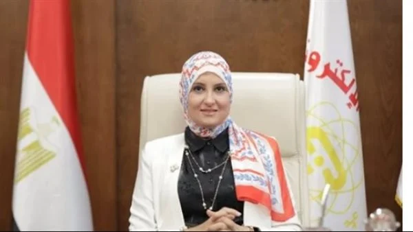
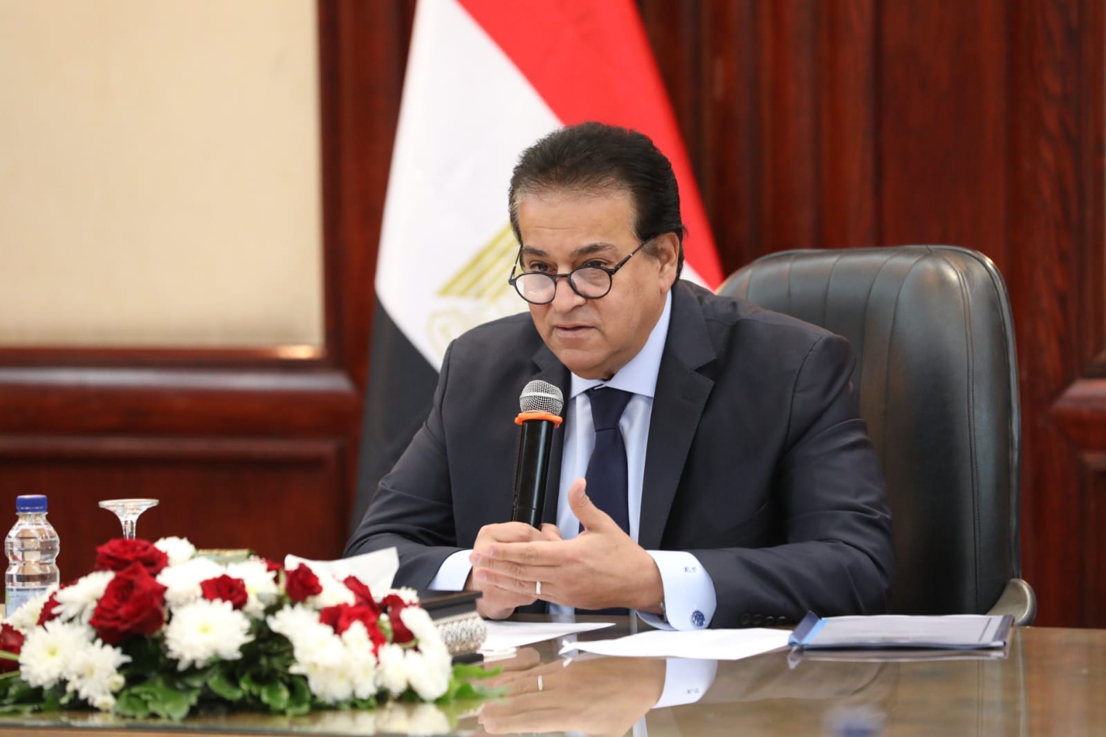
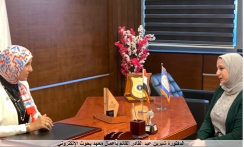
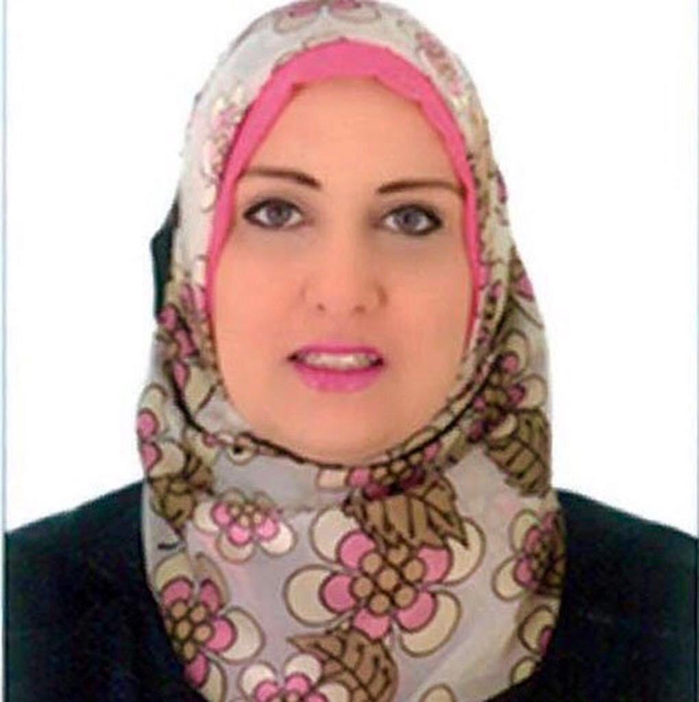
Dr. Sherine Abdel Qader Muharram, Head of the Electronics Research Institute, stated that the conference represents an important event at the present time, as the political leadership in Egypt attaches great importance to the agricultural sector, and this is clearly evident in many major agricultural projects in the fields of land reclamation and cultivation, including, for example, the One and a Half Million Project. Acres, the New Delta Project, the Toshka Al-Khair Project, the Development of Central and North Sinai, the Development of the New Valley, and many others. Based on this and the Electronics Research Institute’s belief in the importance of scientific research and its pioneering role in solving societal problems, the Institute is always keen to participate in scientific events that address these areas, especially problems related to the agricultural sector.
It is worth noting that the Institute has been interested for years in smart agriculture applications from both the research and practical aspects. A research paper was published in 2013 in a journal affiliated with the global scientific database Scopus, which received a large number of citations and was among the most cited research papers in the journal in which it was published.
This research exploited the concept of precision agriculture to provide a solution using wireless sensor network technology to early predict the conditions that warn of the possible occurrence of brown rot in the potato crop to avoid its occurrence and thus avoid the reasons that hindered its export.
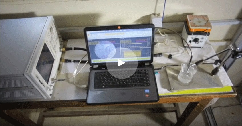
In 2015, a project was started to be implemented entitled “Building a miniature model of a wireless sensor network for better agriculture.” The institute submitted a related patent application in October 2018, and the patent was granted in June 2022. The application related to this model is also protected by copyright. This was followed by the Institute publishing a number of research papers related to the field of smart agriculture.
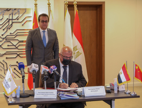
In 2019, the Institute also signed a cooperation protocol with the National Authority for Remote Sensing and Space Sciences. Following this protocol, a contract was signed for a joint project between the two sides entitled “Developing an automated system to support decision-making for precision agriculture applications.”
This project resulted in an integrated software system (EGYPADS) supported by Internet of Things technology. This system is based on automating the planning of agricultural management areas, producing their maps, and supporting agricultural decision-making. This system has also been protected by copyright, and was published in 2022. In one of the scientific journals affiliated with Nature Portfolio.Two contracts were also signed for two projects with the National Authority for Remote Sensing, emanating from the cooperation protocol under the name “Smart agriculture systems for small farms based on the Internet of Things (IOT) and Information and Communications Technology (ICT)” and the smart digital system to remotely monitor and control the flow of water from wells or in Networks and linking them to an active spatial database for the years 2019 and 2022, respectively.
This cooperation resulted in a system to monitor water withdrawal from wells and set a limit on safe withdrawal in a way that does not affect the sustainability of the underground reservoir. Through the system, it is also possible to determine the wealth of groundwater from wells scattered throughout Egypt, determine the annual withdrawal amounts from it, document this within a digital monitoring and control system, and predict the quantities of stored water. As well as linking the quantities of extracted water to the areas of cultivated land and the type of crops, which helps decision makers to optimally plan the cultivated areas, the type of crops, and the optimal method of irrigation in order to maximize the use of the agricultural unit, whether it is fertile land or an arable water resource. The system was tested in several locations in cooperation with several entities, including the Ministry of Water Resources and Irrigation, the Water Department of the Ministry of Defense, and the Shorouk City Water Network.


