
- Home /
- Activities /
- ERI and Remote Sensing implement a joint project to control well water
ERI and Remote Sensing implement a joint project to control well water
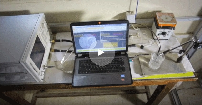
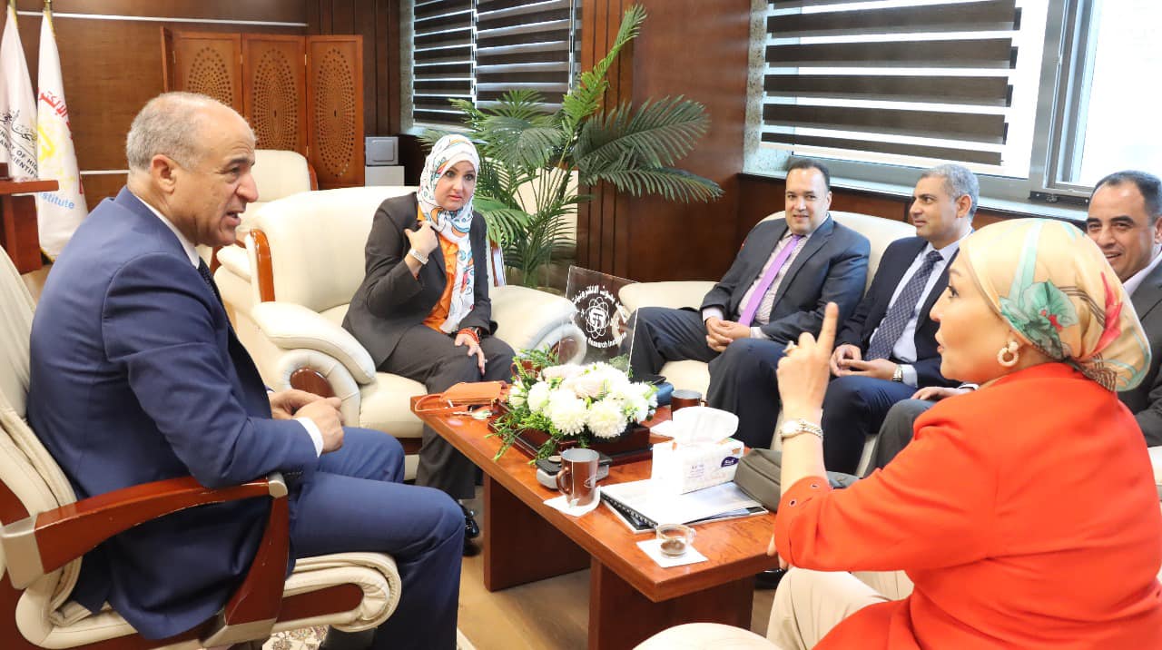
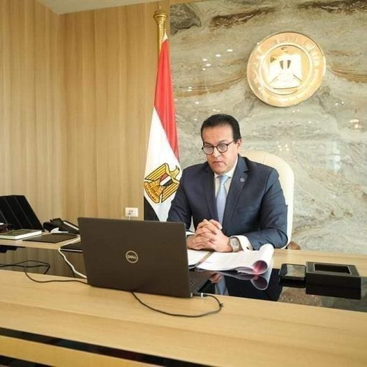
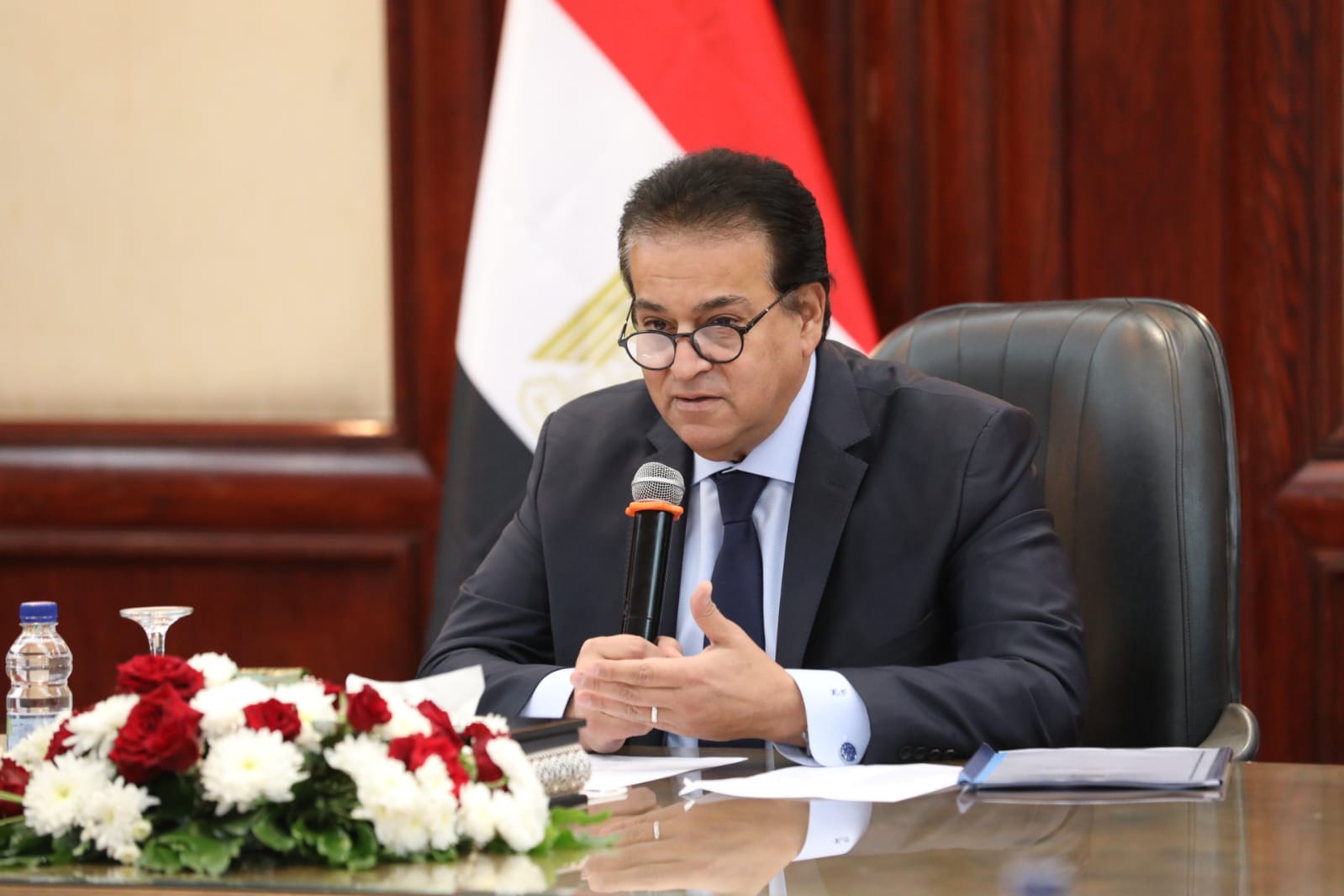
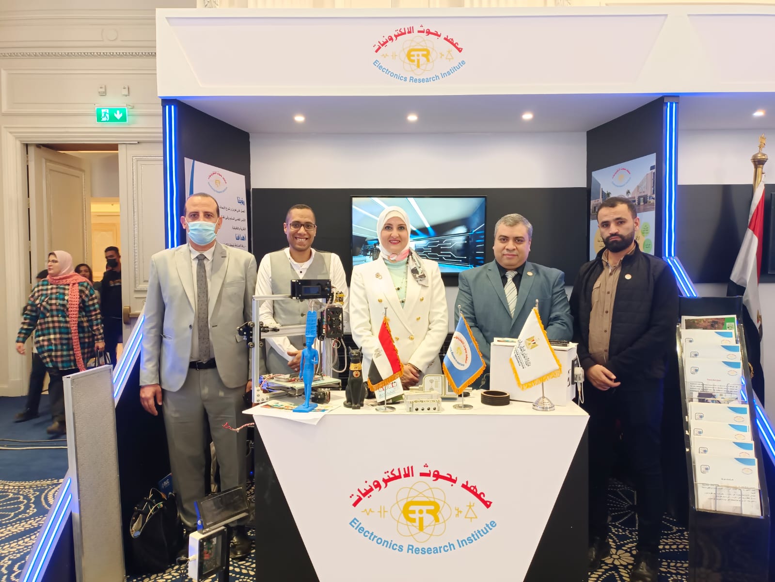
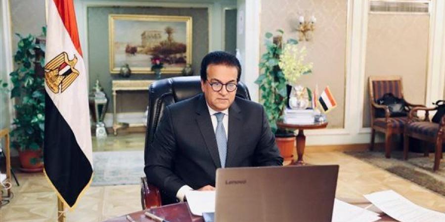
Dr. Ayman Ashour, Minister of Higher Education and Scientific Research, reviewed a report from Dr. Sherine Abdel Qader Muharram, Head of the Electronics Research Institute, about the Institute’s contract with the National Authority for Remote Sensing and Space Sciences to implement a research project entitled “The Smart Digital System for Remote Monitoring and Control of Water Flow from Wells or in networks, and linking them to an active spatial database.” The report indicated that the signing of the contract between the two parties came in light of the joint cooperation protocol signed between the National Authority for Remote Sensing and Space Sciences and the Electronics Research Institute; For cooperation and coordination among themselves in research projects, starting from developing the idea and preparing the initial concept, until the stage of implementation and practical application. Dr. Muhammad Zahran, Chairman of the National Authority for Remote Sensing and Space Sciences, praised the fruitful cooperation between the Authority and the Institute, explaining that the system monitors water withdrawal from wells, While setting an end to safe withdrawal in a way that does not affect the sustainability of the groundwater reservoir, he pointed out that the work team from both sides has developed a system for remote monitoring and control of water flowing from wells or at control points in the lines of drinking water or wastewater supply networks, within a digital system. Linking it to the geospatial database for the location and coordinates of wells or network control points and the characteristics of flowing water. Dr. Sherine indicated that this contract is the third between the two parties, explaining that all research outputs are products designed and implemented by local Egyptian hands and expertise, and that through the current project we can limit the groundwater wealth from wells scattered throughout all parts of Egyptian lands, which were difficult to reach. In practice, with this digital image, knowing the annual withdrawal quantities, and documenting this within a digital monitoring and control system for the quantities of groundwater withdrawn and stored. It is also possible to link the quantities of extracted water to the areas of cultivated land and the quality of crops, and to support decision makers in making appropriate decisions based on a studied scientific approach.
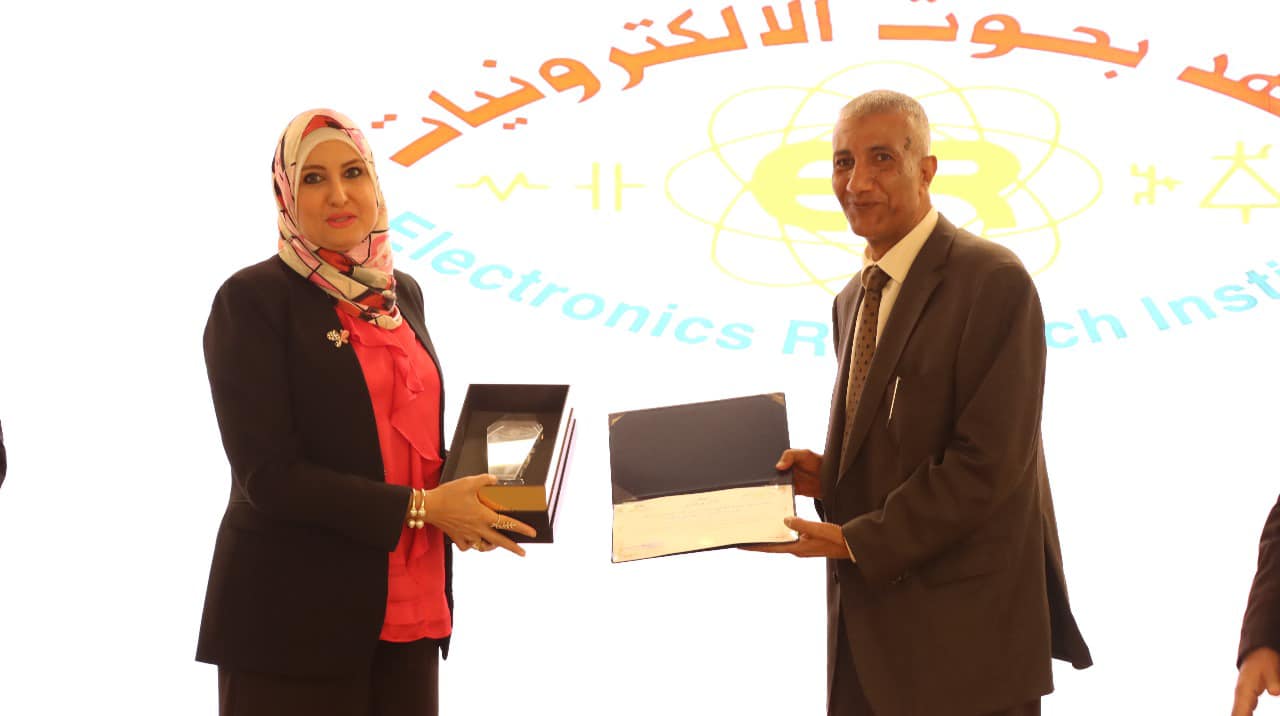
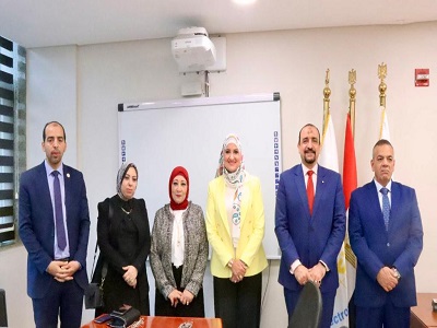
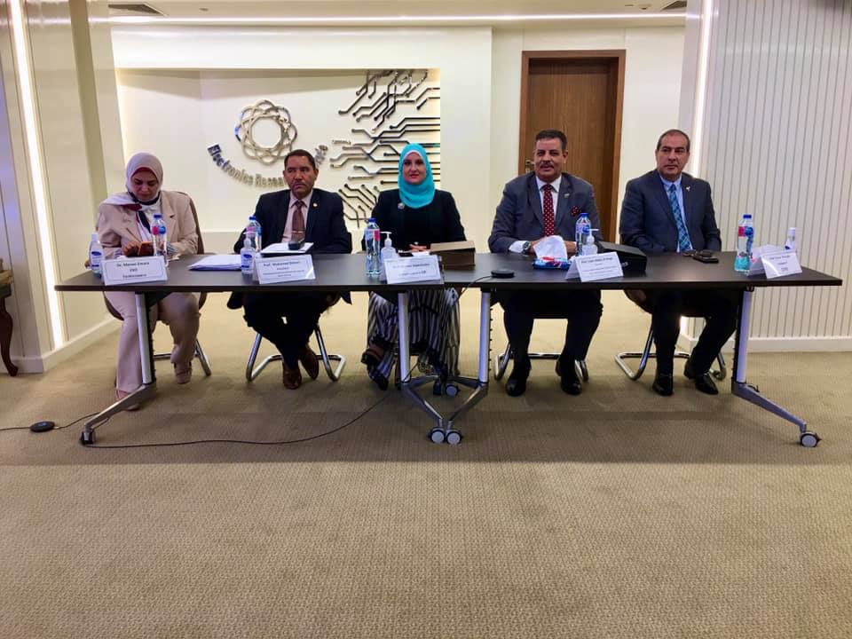
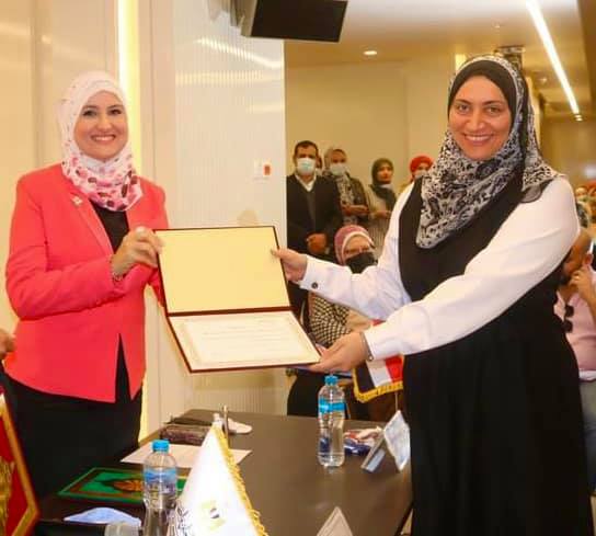
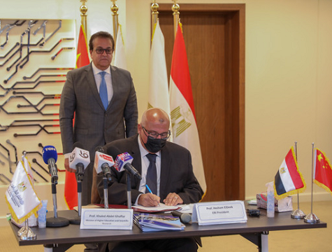
Dr. Mohamed Naguib Hegazy, supervisor of the Digital Information Infrastructure and Decision Support Laboratory at the Authority and the principal researcher for the project, added that the system was tested in several locations on water wells in coordination with the Ministry of Water Resources and Irrigation, the Water Department of the Ministry of Defense, the drinking water network in Shorouk City, and a site in Cairo. The new (wastewater supply network for the station), in addition to monitoring and recording the data of those wells, as well as controlling them by closing the well and operating it remotely, and also setting a limit for safe withdrawal from the well, as the well automatically shuts itself down when production reaches this safe limit in order to preserve stock. Underground water. The contract was signed by Dr. Sherine Abdel Qader, Head of the Electronics Research Institute, and Dr. Muhammad Zahran, head of the National Authority for Remote Sensing and Space Sciences
It is worth noting that this project comes in light of the directives of the political leadership to rationalize groundwater consumption, avoid overdrafting, and preserve water wealth, as the final product of the project serves the state’s plan to preserve water wealth, rationalize water consumption, monitor consumption from a distance, and control operation. separation of wells; To reduce excessive consumption of well water, and preserve water wealth in all regions of the Republic.


